|
|

Categorical Day1 1300Z Outlook
|
|

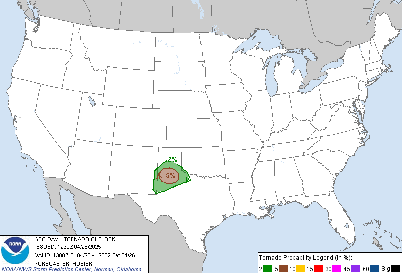
Probability of a tornado within 25 miles of a point.
Hatched Area: 10% or greater probability of EF2 - EF5 tornadoes within 25 miles of a point.
|
|

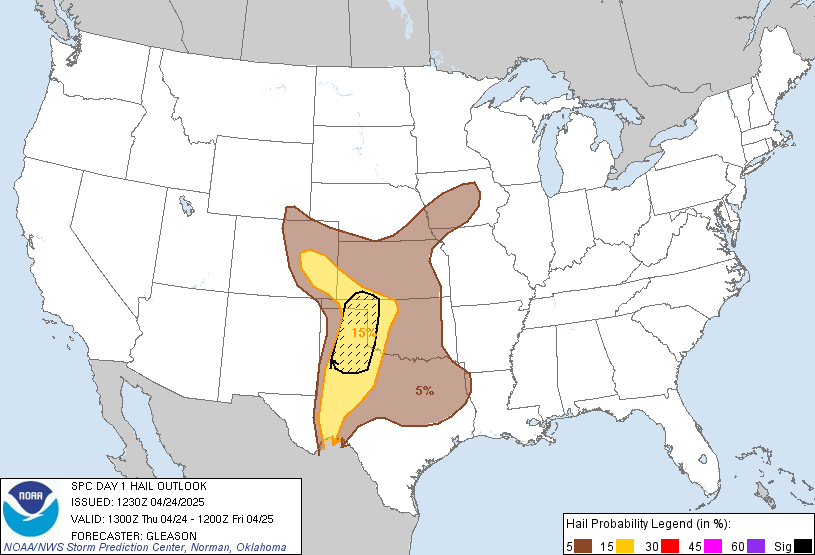
Probability of one inch diameter hail or larger within 25 miles of a point.
Hatched Area: 10% or greater probability of two inch diameter hail or larger within 25 miles of a point.
|
|

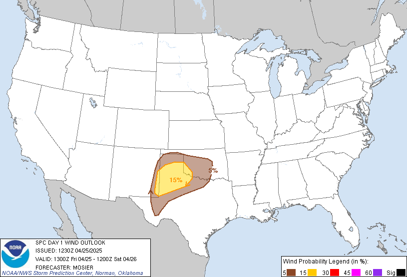
Probability of damaging thunderstorm winds or wind gusts of 50 knots or higher within 25 miles of a point.
Hatched Area: 10% or greater probability of wind gusts 65 knots or greater within 25 miles of a point.
|
|
|
Images courtesy of the NWS Storm Prediction Center
000
ACUS01 KWNS 261254
SWODY1
SPC AC 261253

Day 1 Convective Outlook
NWS Storm Prediction Center Norman OK
0753 AM CDT Fri Apr 26 2024

Valid 261300Z - 271200Z

...THERE IS AN ENHANCED RISK OF SEVERE THUNDERSTORMS THIS
AFTERNOON/EVENING ACROSS NORTHEAST KS/SOUTHEAST NE/NORTHWEST
MO/SOUTHWEST IA...

...SUMMARY...
A few tornadoes, including a couple of strong tornadoes, isolated
very large hail (greater than 2 inch diameter) and isolated wind
damage will be possible, mainly this afternoon/evening from
northeast Kansas/southeast Nebraska into northwest Missouri and
southwest Iowa.  Occasional severe storms are expected farther south
into Arkansas, eastern Oklahoma and northeast Texas.

...Mid MO Valley to TX through tonight...
A complex surface pattern is evident this morning with a cyclone in
northern KS, a trailing dryline/Pacific front into western OK, and
the east edge of the warm sector demarcated by a warm front from
eastern OK into eastern KS.  An ongoing QLCS with occasional wind
damage and tornado reports is moving across eastern OK near the warm
front, with an area of rain-cooled/overturned in OK in the wake of
these storms.  Farther north, an undisturbed portion of the warm
sector extends across central KS.

The eastern OK convection will likely persist through the day toward
western AR, with additional expansion of rain/thunderstorms farther
northeast into southwest/central MO.  The OK/AR portion of this
convection will be the most likely to maintain access to the surface
warm sector through the day, where a mix of bowing segments or
embedded supercells will be possible with all hazards.

The clouds/rain will slow the northeastward progress of the warm
sector, and northward advection of the overturned airmass in OK will
potentially impact the breadth and quality of the unstable warm
sector this afternoon.  Assuming sufficient recovery during the day,
there will be a window of opportunity for tornadic supercells along
the dryline this afternoon/evening starting in northeast
KS/southeast NE and spreading into northwest MO/southwest IA.
MLCAPE at or above 2000 J/kg, boundary-layer dewpoints in the mid
60s, and sufficiently long hodographs with low-level hodograph
curvature (effective bulk shear in excess of 50 kt, and effective
SRH of 200-300 m2/s2) suggest the potential for a couple of strong
tornadoes with any persistent, semi-discrete supercells.  Isolated
very large hail (in excess of 2 inches in diameter) will also be
possible, while the potential for a few damaging gusts will
accompany any upscale growth into line segments this evening.

Additional thunderstorm development will be possible today farther
southwest into TX, in association with weak height falls on the
southern fringe of the ejecting midlevel trough.  The 12z FWD
sounding showed only a weak cap, so the SLGT has been expanded some
to the southwest to account for large hail/wind damage potential
today.  Storms will likely weaken by this evening as weak height
rises commence and the remnant dryline begins to retreat to the
west.

..Thompson/Guyer.. 04/26/2024

$$

