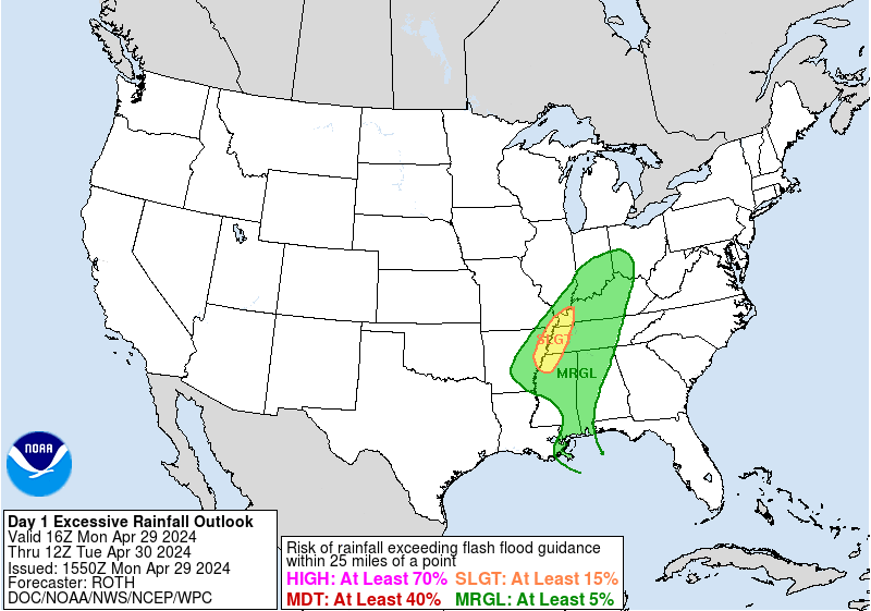
WPC Excessive Rainfall Outlook Day 1
Images courtesy of the NWS Weather Prediction Center
| Excessive Rainfall Forecast Discussion |
Excessive Rainfall Discussion
000
FOUS30 KWBC 160819
QPFERD

Excessive Rainfall Discussion
NWS Weather Prediction Center College Park MD
419 AM EDT Tue Apr 16 2024

Day 1
Valid 01Z Tue Apr 16 2024 - 12Z Tue Apr 16 2024

...THERE IS A MARGINAL RISK FOR EXCESSIVE RAINFALL ACROSS EASTERN
PORTIONS OF THE NORTHERN PLAINS SOUTHWARD THROUGH MUCH OF THE
MISSISSIPPI VALLEY...

Showers and thunderstorm are expected to align near and north of
an east-west orientated warm frontal boundary that is stretched
across the eastern portions of the Plains and the Ohio Valley. The
highest rainfall rates and accumulation will likely be concentrated
along the Minnesota/Iowa border where instability will be most
supportive to produce 1-2"/hr rainfall over this area, which will
likely exceed 1hr FFG in spots. One limiting factor for flash
flooding will be the swift movement of cells, limiting the duration
of heavy rates. Training/backbuilding near the warm front could
help accumulations to reach or exceed 5 inches.

Although there may be some 1hr and 3hr FFG exceedance, the
coverage and magnitude of impacts are expected to remain below
Slight risk levels. The main threat will be to urban areas, where
the intense rates may lead to localized flash flooding. Outside of
urban areas the dry ground and limited green vegetation may allow
for some excess runoff, however these impacts are expected to
remain isolated as well. A Marginal Risk area spans from the
eastern Dakotas, Upper/Central Mississippi Valley and across parts
of the Mid-Mississippi Valley.

Campbell

Day 2
Valid 12Z Tue Apr 16 2024 - 12Z Wed Apr 17 2024

...THERE IS A MARGINAL RISK FOR EXCESSIVE RAINFALL FOR PORTIONS OF
THE GREAT LAKES, OHIO VALLEY AND WESTERN PARTS OF THE NORTHEAST...

Showers and thunderstorms will track eastward across the Ohio
Valley and some of these storms will be strong and capable of
producing high rainfall rates. Overall, the storm motion will be
but should generally be progressive in nature. There is less
instability with eastward extent, which should result in lower
rainfall rates. But given the above average soil saturation and
streamflows over portions of Pennslyvania and New York the Marginal
looks good.

Campbell


Day 3
Valid 12Z Wed Apr 17 2024 - 12Z Thu Apr 18 2024

...THERE IS A MARGINAL RISK FOR EXCESSIVE RAINFALL FOR PORTIONS OF
THE SOUTHERN PLAINS AND MISSISSIPPI VALLEY...

Another low pressure system will develop across the
Southern/Central Plains and tap into the return flow from the Gulf
of Mexico. Convection is expected to fire up ahead of the
approaching cold front with areal averages of 1 to 2+ inches across
the Missouri Ozarks/Mid-Mississippi Valley and trailing southwest
to central Texas. Recent rains will have lowered some of the FFG
across this region and may have an increased sensitivity to
additional rain/heavy rain. A Marginal Risk area covers part of
northeast Texas to southern Missouri and western Kentucky.


Campbell


Day 1 threat area: https://www.wpc.ncep.noaa.gov/qpf/94epoints.txt
Day 2 threat area: https://www.wpc.ncep.noaa.gov/qpf/98epoints.txt
Day 3 threat area: https://www.wpc.ncep.noaa.gov/qpf/99epoints.txt