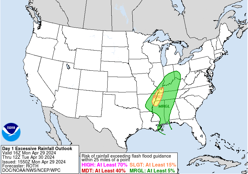
WPC Excessive Rainfall Outlook Day 1
Images courtesy of the NWS Weather Prediction Center
| Excessive Rainfall Forecast Discussion |
Excessive Rainfall Discussion
639
FOUS30 KWBC 051948
QPFERD

Excessive Rainfall Discussion
NWS Weather Prediction Center College Park MD
348 PM EDT Sun May 5 2024

Day 1
Valid 12Z Sun May 05 2024 - 12Z Mon May 06 2024

...THERE IS A MODERATE RISK OF EXCESSIVE RAINFALL FOR SOUTHEAST
TEXAS TODAY...

16Z update... The cold front has advanced through central Texas
which has aided in drier air filtering in and the initial
convection to progress faster into Arkansas and Louisiana. The back
edge of the Marginal was trimmed to account for this. The Slight
Risk area was split into two areas to account for a relative
minimum in the heavy rain potential across southern Arkansas and
northern Louisiana. Additionally, training of thunderstorms across
southeast/southern Texas has increased the threat for excessive
rainfall thus the Marginal and Slight Risk southern boundaries were
expanded southward. The Moderate Risk area was reduced north and
west of the Houston metro has the most intense rainfall rates has
already passed although there will still be ongoing flooding for
these locations.

Campbell

A trough progressing eastward across Texas early this morning will
continue to support showers and thunderstorms capable of producing
heavy rainfall. Strong updraft with corresponding intense rainfall
rates are being focused and sustained by favorable instability and low
level flow interacting with a west to east oriented front. This has
set up an elongated MCS oriented such that training/repeat
convection can occur with concern greatest where this training
drops additional rainfall in southeast Texas where some areas have
already received between 4 and 13 inches of rain since late in the
week. The trend going into the morning will be for the maximum
rainfall rates around 2 inches to diminish about the time of
convective minimum...but enough start to redevelop if the
instability can recover later today. The other component will be
showers that make their way northward into parts of the Mid-
Mississippi Valley during the afternoon. The area is less
hydrologically sensitive than southeast Texas but still an
excessive rainfall threat. As such...made few changes to the
Moderate Risk area hoisted on Saturday and changes to the Slight
and Marginal were based in short term radar and satellite trends

Bann

Day 2
Valid 12Z Mon May 06 2024 - 12Z Tue May 07 2024

...THERE IS A SLIGHT RISK OF EXCESSIVE RAINFALL OVER PORTIONS OF
THE CENTRAL AND NORTHERN PLAINS...

21Z update... The setup continues to look favorable for areas of
heavy rainfall and localized flooding across the Northern and
Central Plains. Only minor adjustments were needed to reflect the
latest trends and WPC forecast.

Campbell

Central Plains...
A negative tilted trough will make its way out of the Rockie and
out over the central and northern plains. A corresponding area of
surface low pressure will organize over the Northern High Plains.
This results in strengthening low level flow that draws deepening
moisture and instability over the nation`s mid-section. Storms that
form farther west will encounter the increasingly moist and
unstable airmass resulting in increasing potential for downpours
and for embedded higher amounts within a broader region of 1 to 2
inch areal average amounts. Given the amount of instability to
support downpours..the alignment of the flow aloft does set up the
possibility of repeat convection and excessive rainfall. Expanded
the western boundary of the Marginal a bit westward base on
guidance but the overall forecast reasoning has changed little.

Northern portion of the Western High Plains...
Model signal continued to strengthen with respect to rainfall
amounts and the potential for a soaking to potentially excessive
rain. Much of this region has nearly saturated soils which has
reduced the 3-hr FFG to as low as 1 inch. Rainfall is only one side
of the worry given because the rainfall will be falling into
lingering snowpack. Areas of local flash flooding will be
possible.

Bann

Day 3
Valid 12Z Tue May 07 2024 - 12Z Wed May 08 2024

...THERE IS A MARGINAL RISK OF EXCESSIVE RAINFALL OVER PORTIONS OF
THE NORTHERN UNITED STATES...

21Z update... The latest trends supported a complete westward
shift of Marginal Risk area covering the Upper Great lakes and
Midwest region. Small westward adjustments were made across north-
central Montana were the QPF increased and was not in the area of
snow forecast by WPC.


Campbell

Great Lakes Region...
A cold front associated with what had been the highly dynamic
system on Monday will shift westward into the western Great Lakes
region on Tuesday. The front should encounter some lingering
moisture that propagated downstream on Monday but the overall
moisture pattern is getting stretched. The GFS showed precipitable
water values...though...are either side of 1.5 inches on Tuesday
morning from parts of Wisconsin south and eastward. Values that
high tend to be pushing 2 standardized anomalies greater than
climatology for this time of year...so some locally enhanced
rainfall rates are possible.

Northern portion of the Western High Plains...
With the mid/upper low moving little since Monday...continuation of
rainfall at the lower elevations should continue into Tuesday, Only
change from the previous outlook was to minimize the overlap
between the Marginal Risk area and area where snowfall is forecast
by the WPC Winter Weather Desk.

Bann


Day 1 threat area: https://www.wpc.ncep.noaa.gov/qpf/94epoints.txt
Day 2 threat area: https://www.wpc.ncep.noaa.gov/qpf/98epoints.txt
Day 3 threat area: https://www.wpc.ncep.noaa.gov/qpf/99epoints.txt