RSS Mesoscale Discussions from Storm Prediction Center
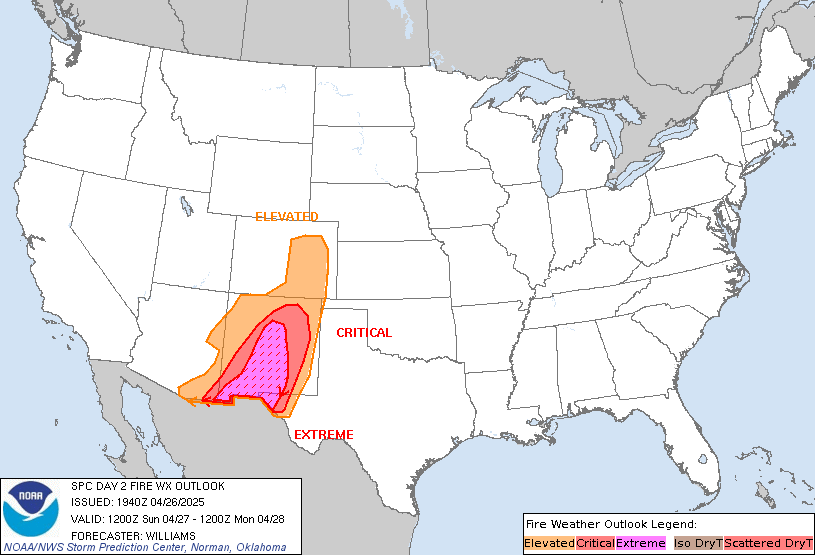
SPC Day 2 Fire Weather Outlook


Day 2 Fire Weather Outlook
NWS Storm Prediction Center Norman OK
0155 AM CDT Sun May 05 2024

Valid 061200Z - 071200Z

...CRITICAL FIRE WEATHER AREA FOR EASTERN NEW MEXICO INTO THE TEXAS
AND OKLAHOMA PANHANDLES...

...Synopsis...
An active fire-weather pattern will continue on D2/Monday as a
powerful mid-level trough ejects through the Central Plains.
Associated dry, windy conditions to the west of a dryline will lead
to critical fire-weather conditions across central/eastern NM and
the TX/OK Panhandles.

By peak heating on Tuesday afternoon, the mid-level trough is
expected to become negatively tilted and centered from eastern MT
southeastward through central NE/KS. Upstream of the trough axis, a
belt of 50-60+ kt westerly mid-level flow is expected from
northeastern AZ through the TX/OK Panhandles. Downward momentum
mixing, in conjunction with a tightening surface pressure gradient
and strong isallobaric flow, will yield persistent and strong
surface flow around 20-30 mph during the afternoon and evening. Very
dry conditions are also anticipated, with relative humidities as low
as 5-10 percent. As a result, high confidence exists in critical
meteorological fire-weather conditions across the delineated area.
Locally extremely critical conditions are possible, but a few
factors preclude highlighting a specific area, including:

1. local fuel state due to bands of wetting precipitation from
thunderstorms on Saturday night and Sunday morning, and,
2. whether sustained surface winds will meet extremely critical
conditions (30+ mph) for an extended period of time.

Elevated/critical meteorological fire-weather conditions will likely
develop to the northeast (e.g., southeastern CO and southwestern KS)
and east (e.g., eastern TX/OK Panhandles) of the delineated areas as
the dryline mixes eastward on Monday. However, much of these areas
received around 0.5+ inches of precipitation recently, which should
temper the fire-weather threat immediately behind the dryline.

..Flournoy.. 05/05/2024

...Please see www.spc.noaa.gov/fire for graphic product...


Read more
